Aerial Fielding
Complete, field-verified aerial data collection—from pole attributes and attachment heights to span measurements, equipment, and site conditions.
 279.444.5432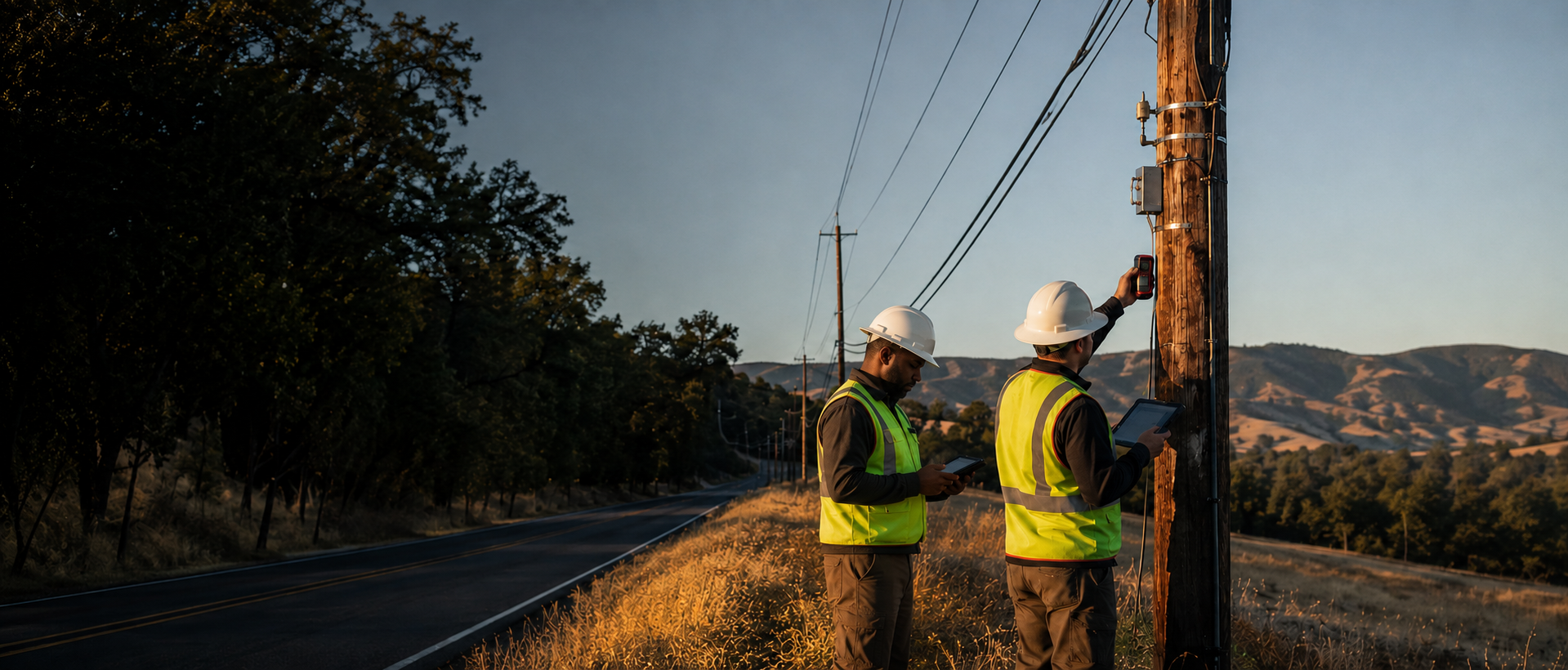
OSP FIELD SERVICES
Topline Engineering delivers precise, project-ready utility fielding and make-ready support—with the responsiveness your team needs to keep work moving.
From the pole line to the final dataset, Topline Engineering provides the dependable field information teams need to plan, design, and build with confidence.
Complete, field-verified aerial data collection—from pole attributes and attachment heights to span measurements, equipment, and site conditions.
Organized documentation of underground routes, structures, access points, and field conditions to support confident planning and design.
Detailed attachment assessments and make-ready data collection that identify conflicts early and keep joint-use projects moving.
Pole-loading analysis support with careful data preparation and quality-focused O-Calc workflows for accurate, defensible deliverables.
BUILT FROM FIELD EXPERIENCE
Topline Engineering is grounded in firsthand utility field experience. We understand how small details in the field affect planning, design, and construction downstream—so every site visit, data point, and deliverable is approached with accuracy, consistency, and accountability.
We align on requirements, formats, timelines, and field priorities before mobilization.
Our team captures the measurements, photos, attributes, and conditions your project requires.
Collected data is reviewed for completeness and consistency before delivery.
You receive organized, project-ready information with clear communication throughout.
LET'S TALK
Tell us what you're working on. We'll talk through the scope, timing, and field support your team needs.